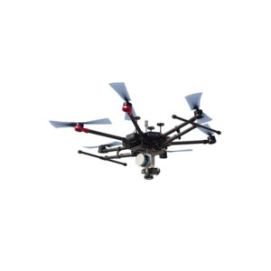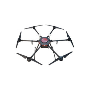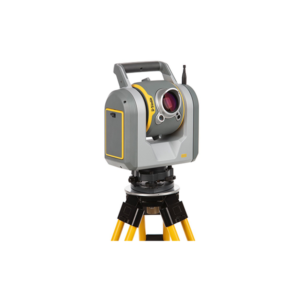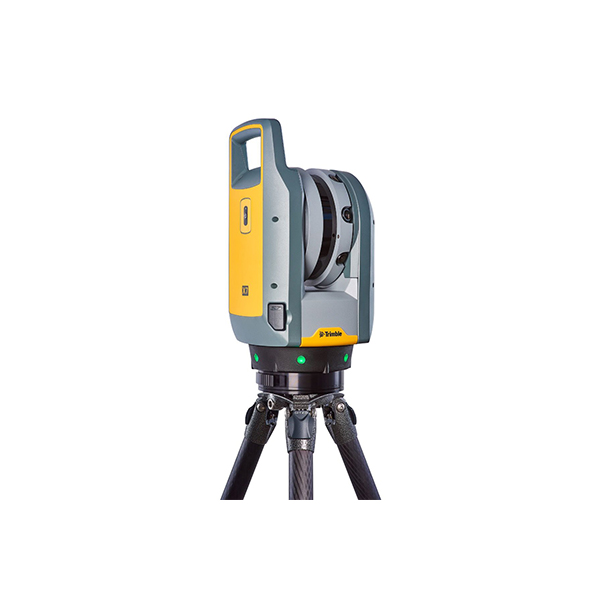


Description
Trimble X7 bring your own device kit with Perspective software, Series 3 tripod,quick release, backpack and more.
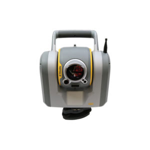
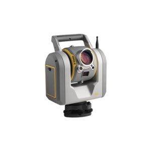
Automatic Calibration
Complete confidence in every scan with the industry’s first smart calibration system. No targets or user interaction required.
Self-leveling
Industry’s first scanner to automatically level each scan with survey grade accuracy.
Trimble Registration Assist
Increase your field productivity with the industry’s most comprehensive automatic registration.
Industrial Survey
Create as-builts of industrial facilities for CAD modeling, plant revamp design, interference detection and verification of fabricated components. The X7’s High Sensitivity scan mode ensures highly precise data capture in complex environments where black and highly reflective metals are present. The compact, lightweight design and custom backpack make it easy to transport and climb ladders to access elevated platforms. In-field registration confirms the area has been captured entirely, eliminating costly field rework for critical projects when plants are shut down. Scans can also be geo-referenced to a plant coordinate system to match perfectly with CAD design models by surveying plant monuments and targets scanned by the X7. RealWorks Target Based Registration can use the survey control file to automatically register the scans for export to plant design CAD software.
Civil Infrastructure
Create as-built documentation for drawings or models for bridges, tunnels, dams, etc. Use scan information in clearance calculations, modeling, inspections, renovations, and expansion work. High-speed data capture reduces downtime for critical infrastructure projects. The compact, lightweight design makes it easy to transport and set up in a variety of environments. In-field registration allows users to verify that the scan data has been captured in its entirety, before returning to the office, reducing downtime and eliminating the need for multiple site visits.
Topographic/General Surveys
Capture features for land title surveys, including property boundaries, buildings, easements, site improvements, right-of-ways, encroaching elements, and complex structures. Assign labels to create scan groups and simplify the display of specific areas, and add annotations with pictures to document items of interest. Capture millions of data points in a fraction of the time it would take to capture significant features using traditional topographic survey methods. The X7’s compact, lightweight design make it easy to transport and set up, no matter the environment.
Building Construction/Facility Management
The X7 is safe and effective to provide services to the buildings market, to create as-built models for scan to BIM and for renovations. Provide utility for building extensions, conversions and inspection of facades and elevations. Handle design optimization and accessibility planning. Use survey-grade self-leveling to verify verticality, floor flatness and to analyze deformation of beams and columns. In-field registration verifies the entire project has been captured to eliminate the risk of return visits, especially where access permits are difficult to obtain. Transfer data to TBC, RealWorks® or other CAD software for final analysis and design.