

Description
Made for geospatial applications
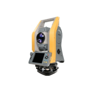
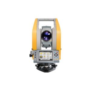
- The perfect solution for survey professionals carrying out survey or hybrid survey-imaging workflows that require interaction with maps, images or point cloud data. It also functions as a controller for survey instruments, including the Trimble SX10 scanning total station, and as a field-processing platform
- GIS users in many organizations including municipalities, utility companies, and environmental agencies can take advantage of the T10’s capabilities to reliably map, inspect, and collect data. It is ideal for carrying out utility asset inspections, biological surveys, mapping wetland delineation or endangered species, performing maintenance checks on street furniture, road signage, and more. Then, back in the office, data can be processed and integrated directly into your organization’s geodatabase
High processing power
- A powerful Intel® 6th Generation Core™ i7 processor handles complex, data-hungry applications with ease, eliminating the need to carry a separate laptop computer in addition to a survey controller or data collector
- Rapidly and efficiently processes large data sets such as maps, satellite imagery, image, point clouds, as well as geospatial field data for detailed analysis and visualization out in the field
- Achieves faster results, allowing for QA/QC on the job to avoid missed data or additional trips
- Supports the latest Windows® 10 operating system running commercially available field and office applications
- Optimized to support Trimble Access™ field software and Trimble Business Center office software
Built for the field
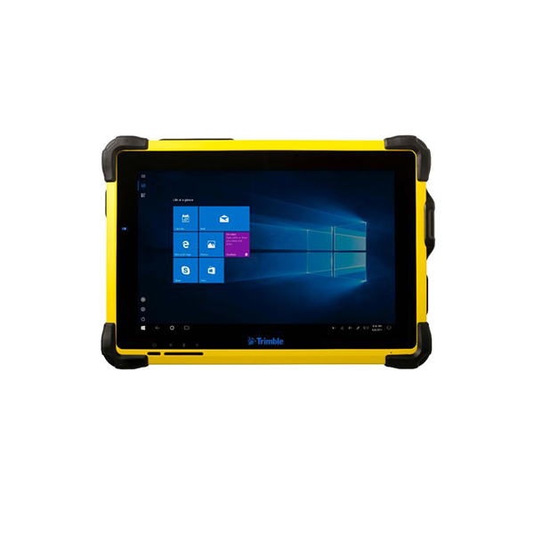
- Large 10.1-inch screen ensures easy viewing of data
- High screen resolution offers enhanced map interaction, providing accurate, detailed information to help you make informed decisions out on site
- Built tough with IP-65, military-grade (MIL-STD-810G) ruggedness certification to handle extreme elements, drops and shocks
- Hot-swappable long life Li-Ion batteries to help keep you working as long as you need to
- Integrated wireless connectivity options include Wi-Fi, 4G LTE cellular and 2.4 GHz spread-spectrum radio to control the Trimble S-Series total stations and the Trimble SX10 scanning total station.